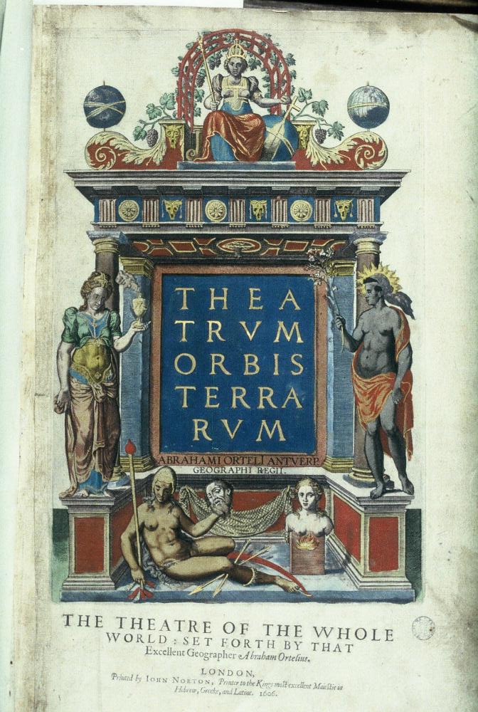
1570: The Brabantian cartographer Abraham Ortelius publishes the Theatrum Orbis Terrarum ("Theatre of the Lands of the World") in Antwerp. Considered the first modern atlas, this work brings together 53 uniformly engraved copperplate maps (including the world, continents, and regions), an alphabetical index, and 87 cited sources. For the first time, the geographical knowledge of the era was structured into a single volume, marking the beginning of modern scientific cartography and the mass dissemination of spatial knowledge.
Image credits : archive.org
20-05-2026